Filter By
-

Topography Nomenclature 3-Part Cards
Thinkamajigs$7.95This set of nomenclature flash cards features a variety of topographical features such as canyon, river, desert etc. The set includes ten labeled images plus separate images and labels (30 pieces altogether). The full colour photographic... -

Landmarks Nomenclature 3-Part Cards
Thinkamajigs$7.95This set of nomenclature flash cards includes ten famous landmarks from around the world such as the pyramids, Empire State Building, Eiffel Tower etc. The full colour photographic images are printed on heavy card stock and include labeled images... -

Sandpaper Land Form Cards
Thinkamajigs$39.95This set includes five pairs of land form cards on 3mm thick hardboard, measuring approximately 19 x 20 cm (about 7.5" x 8"). Each pair shows a different land form and its opposite, such as island/lake, gulf/peninsula, strait/isthmus, bay/cape,... -

Land & Water Form Trays with Cabinet
Thinkamajigs$133.95This set includes ten trays made of thick plastic moulded to form the most common types of land and water forms: lake, island, gulf, peninsula, strait, isthmus, bay, cape, archipelago and system of lakes. The trays are brown in colour, and can be... -

World Puzzle Map
Thinkamajigs$50.95The World Puzzle Map shows the continents of the world in a variety of different colours. Each laser-cut piece is made of thick laminated ply to resist warping, and has a wooden knob attached for easy grasping. The map includes a beechwood... -

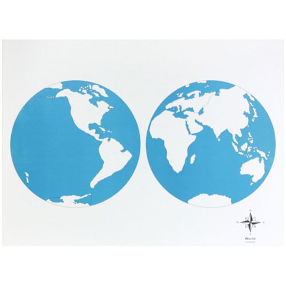
World Control Chart - unlabeled
Thinkamajigs$5.95Designed for use with the World Puzzle Map, this control chart is unlabeled and is printed on heavy cardstock. Land areas are shown in white and water areas are blue. Measures 53.5 cm x 40.5 cm (about 21" x 16") -

World Control Chart - labeled
Thinkamajigs$5.95Designed for use with the World Puzzle Map, this control chart is labeled with the countries of the world and is printed on heavy cardstock. Land areas are shown in white and water areas are blue. Measures 53.5 cm x 40.5 cm (about... -

North America Puzzle Map
Thinkamajigs$50.95The North America Puzzle Map shows the countries of North and Central America in a variety of different colours. Each laser-cut piece is made of thick laminated ply to resist warping, and has a wooden knob attached for easy grasping. The map... -

North America Control Chart - unlabeled
Thinkamajigs$5.95Designed for use with the North America Puzzle Map, this control chart is labeled with the countries of North America and is printed on heavy cardstock. Land areas are shown in white and water areas are blue. Measures 53.5 cm x 40... -

North America Control Chart - labeled
Thinkamajigs$5.95Designed for use with the North America Puzzle Map, this control chart is labeled with the countries of North America and is printed on heavy cardstock. Land areas are shown in white and water areas are blue. Measures 53.5 cm x 40... -

Puzzle Map OF Canada
Thinkamajigs$50.95The Canada Puzzle Map shows the provinces and territories of Canada in a variety of different colours. Each laser-cut piece is made of thick laminated ply to resist warping, and has a wooden knob attached for easy grasping. The map includes a... -

Canada Control Chart - unlabeled
Thinkamajigs$5.95Designed for use with the Canada Puzzle Map, this control chart is unlabeled and is printed on heavy cardstock. Land areas are shown in white and water areas are blue. Measures 53.5 cm x 40.5 cm (about 21" x 16") -

Canada Control Chart - labeled
Thinkamajigs$5.95Designed for use with the Canada Puzzle Map, this control chart is labeled with the provinces and territories of Canada and is printed on heavy cardstock. Land areas are shown in white and water areas are blue. Measures 53.5 cm x... -

USA Puzzle Map
Thinkamajigs$50.95The USA Puzzle Map shows the states of the United States of America in a variety of different colours. Each laser-cut piece is made of thick laminated ply to resist warping, and has a wooden knob attached for easy grasping. The map includes a... -

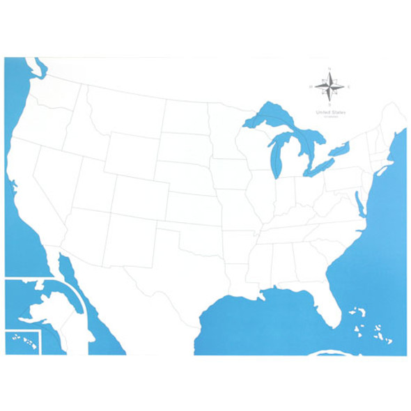
USA Control Chart - unlabeled
Thinkamajigs$5.95Designed for use with the United States Puzzle map, this control chart is unlabeled and is printed on heavy cardstock. Land areas are shown in white and water areas are blue. Measures 53.5 cm x 40.5 cm (about 21" x 16") -

USA Control Chart - labeled
Thinkamajigs$5.95Designed for use with the United States Puzzle map, this control chart is labeled with the states of the U.S.A. and is printed on heavy cardstock. Land areas are shown in white and water areas are blue. Measures 53.5 cm x 40.5 cm...
