null

Now through September 30 get FREE SHIPPING in Canada on orders of $500 or more! (excludes YT, NT and NU)

Recently Viewed Products

World Puzzle Map

No reviews yet Write a Review
$49.95
SKU:
H0074
Shipping:
Calculated at Checkout
In Stock & Ready To Ship!
Current Stock:Only left:

Frequently Bought Together:

Total: Inc. Tax
Total: Ex. Tax

Description

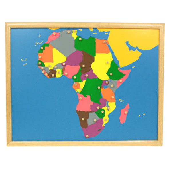
The World Puzzle Map shows the continents of the world in a variety of different colours.  Each laser-cut piece is made of thick laminated ply to resist warping, and has a wooden knob attached for easy grasping.  The map includes a beechwood frame for looks and durability. 

  • 9 pieces in total
  • Map measures 57.5 cm x 45 cm (about 23" x 18")
  • Beechwood frame protects edges from damage

Age Range

Age:
3 yrs +

Product Reviews

No reviews yet Write a Review

Customers Also Viewed

Canada Puzzle Map

Canada Puzzle Map

Thinkamajigs
$49.95
The Canada Puzzle Map shows the provinces and territories of Canada in a variety of different colours.  Each laser-cut piece is made of thick laminated ply to resist warping, and has a wooden...
Coloured Globe

Coloured Globe

Thinkamajigs
$39.95
The Coloured Globe is mounted and rotates on a wooden base at the correct angle for the tilt of the earth's axis.  Water is represented in blue while the continents are represented in a variety...
World Map with Flags

World Map with Flags

Thinkamajigs
$58.95
The World Map with Flags is a fun and colourful exercise that starts with the detailed map of the world.  The map is printed directly onto a warp-resistant presswood board, and the back of the...
North America Puzzle Map

North America Puzzle Map

Thinkamajigs
$49.95
The North America Puzzle Map shows the countries of North and Central America in a variety of different colours.  Each laser-cut piece is made of thick laminated ply to resist warping, and has a...
World Control Chart - labeled

World Control Chart - labeled

Thinkamajigs
$5.95
Designed for use with the World Puzzle Map, this control chart is labeled with the countries of the world and is printed on heavy cardstock.  Land areas are shown in white and water...